Submit-ready Nevada IMACS site forms
in minutes, not days
Nevada uses the Intermountain Antiquities Computer System (IMACS) site form — a multi-page document with section-specific encoding that punishes manual data entry. FieldTap Report Builder turns it into a one-time setup.
Why state forms break every other tool
Every state has its own paper site form. Nevada's is Nevada IMACS site forms — a fixed PDF layout Nevada SHPO expects to receive exactly as published. Generic field tools give you two bad options: rebuild the form by hand in their form builder (and still retype results into the official PDF), or pay for a professional services engagement to digitize each form.
Either way, every revision the agency publishes restarts the cycle. CRM firms end up paying for software and still doing the typing.
Import once. Map once. Done forever.
Report Builder is the only feature on the market that lets a CRM firm digitize a state's official PDF form themselves — no professional-services bill, no rebuilding the form by hand. Map the fields once and every record auto-exports a submit-ready Nevada SHPO PDF for the life of your firm.
Forms covered for Nevada
FieldTap ships with Report Builder templates for the official Nevada State Historic Preservation Office forms below. Use them as-is, customize them, or import your own variant.
Site number, recorder, agency, USGS quad, township/range/section, and project association.
Vegetation, soils, slope, aspect, water sources, and other environmental context required by Nevada SHPO reviewers.
Coded fields for historic resources — function, period, integrity, and feature inventory.
Coded fields for prehistoric resources — site type, feature counts, artifact classes, and integrity.
What Nevada SHPO reviewers expect
- Nevada SHPO requires the IMACS coded values exactly as published — free-text answers in coded fields are rejected. FieldTap enforces the controlled vocabulary at entry time.
- Smithsonian trinomial site numbers must be assigned by Nevada SHPO before final submission; FieldTap supports placeholder numbers in the field that are swapped on export.
- Photo logs must include direction (azimuth) and a description tied to feature/artifact references on the form — FieldTap captures azimuth automatically.
- Multi-state IMACS users (Utah, Idaho, Wyoming) can reuse the same Report Builder template across projects with state-specific overrides.
Nevada SHPO FAQ
How is this different from filling out IMACS in a generic form builder?
Generic form builders force you to rebuild every IMACS field by hand and produce a CSV that someone still has to retype into the official PDF. FieldTap Report Builder reads the official PDF directly and auto-fills it from your records — you skip the retyping entirely.
Does FieldTap know the IMACS code lists?
Yes. The IMACS controlled vocabularies (site type, function, period, integrity codes) are pre-loaded as dropdowns. You can extend them, but you cannot accidentally type something Nevada SHPO will reject.
Can we record multi-component sites?
Yes. A single record can include both Part C (historic) and Part D (prehistoric) data and export the full multi-page IMACS PDF.
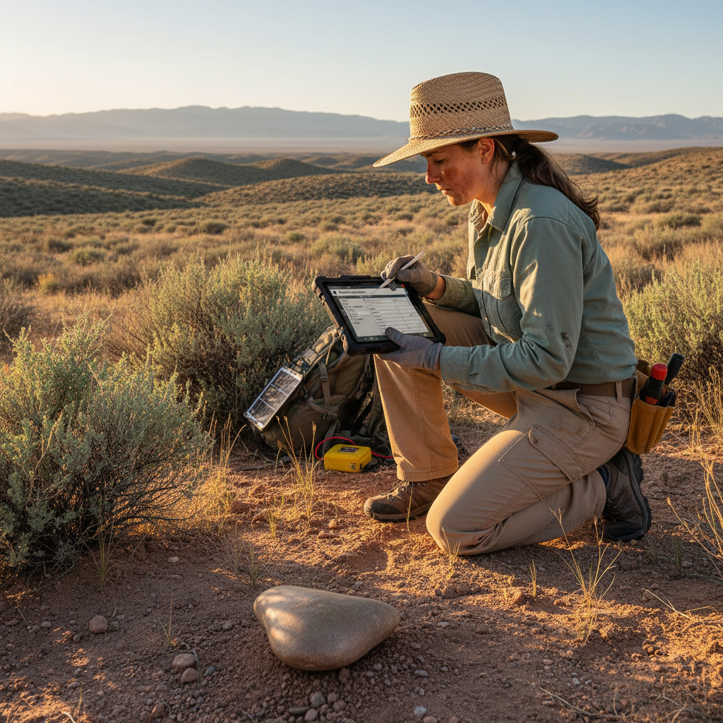
Will this work in remote Nevada with no cell coverage?
Yes. FieldTap is fully offline — record sites, take GPS-tagged photos, and fill IMACS forms with no signal. Sync happens when you get back to service.
Can multiple crew members work on the same project?
Yes. FieldTap supports team workflows with role-based review. Crew members record sites; a PI or lead reviews and approves before submission to Nevada SHPO.
Map Nevada IMACS site forms once. Submit forever.
30-day free trial. No credit card. Set up your first Report Builder in minutes.