Submit-ready Utah IMACS site forms
in minutes, not days
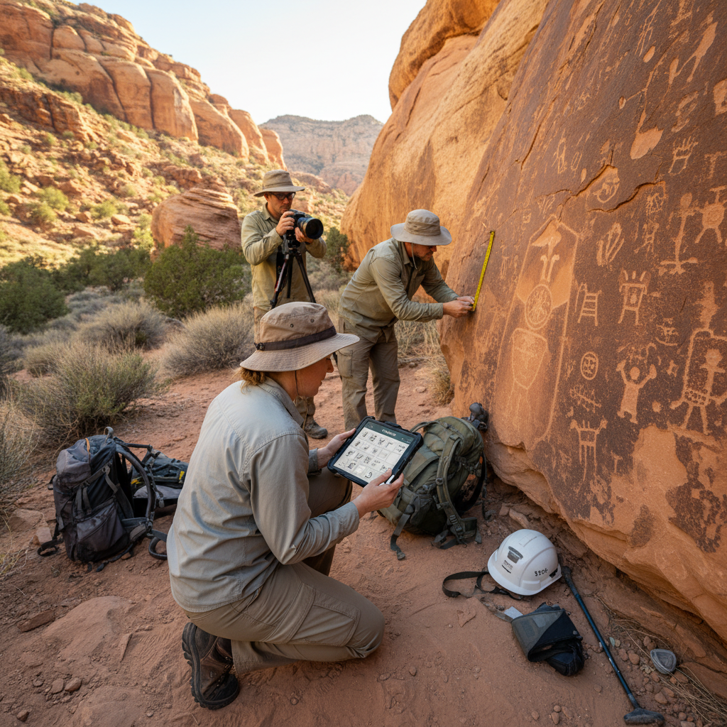
Utah is an IMACS state — site recording follows the same Intermountain Antiquities Computer System format used across the Great Basin, with Utah-specific addenda. FieldTap Report Builder captures both the standard IMACS template and Utah's local requirements.
Why state forms break every other tool
Every state has its own paper site form. Utah's is Utah IMACS site forms — a fixed PDF layout Utah SHPO expects to receive exactly as published. Generic field tools give you two bad options: rebuild the form by hand in their form builder (and still retype results into the official PDF), or pay for a professional services engagement to digitize each form.
Either way, every revision the agency publishes restarts the cycle. CRM firms end up paying for software and still doing the typing.
Import once. Map once. Done forever.
Report Builder is the only feature on the market that lets a CRM firm digitize a state's official PDF form themselves — no professional-services bill, no rebuilding the form by hand. Map the fields once and every record auto-exports a submit-ready Utah SHPO PDF for the life of your firm.
Forms covered for Utah
FieldTap ships with Report Builder templates for the official Utah State Historic Preservation Office forms below. Use them as-is, customize them, or import your own variant.
Smithsonian trinomial, recorder, project, and location to USGS quad.
Setting, vegetation, soils, water sources — context Utah SHPO reviewers expect for evaluating site integrity.
Coded site type, function, period, and feature inventory. Utah SHPO accepts the standard IMACS Part C and Part D content.
Local additions Utah SHPO reviewers commonly request — Report Builder accepts these as a layered template on top of the base IMACS form.
What Utah SHPO reviewers expect
- Utah SHPO accepts the standard IMACS form but expects Utah-specific entries for trinomial assignment and project tracking — Report Builder layers state-specific fields without replacing the base IMACS template.
- Coordinates must agree between the form, the location map, and any GIS deliverable. FieldTap generates all three from a single record so they cannot drift.
- Photographs require feature references that match the form's feature inventory — FieldTap links photos to the feature record automatically.
- Firms working across Utah, Nevada, and Idaho can reuse the same base IMACS Report Builder template with state-specific overrides.
Utah SHPO FAQ
Can we use the same setup across Utah, Nevada, and Idaho?
Yes. The base IMACS template is shared across all three states; FieldTap supports state-specific overrides as additional Report Builder layers, so multi-state firms set up once and switch states per project.
We have a custom Utah IMACS variant with additional fields — can we map that?
Yes. Report Builder accepts any PDF. If your firm has internal QA forms or Utah-specific supplementary pages, you can drag-map them and FieldTap will populate them from your records.
Does it handle the Smithsonian trinomial assignment workflow?
Yes. Field crews record with placeholder numbers; once Utah SHPO assigns the trinomial, you update the record and exports refresh automatically.
Does this work offline?
Fully offline for recording. Sync and export require connectivity.
What about shapefile exports for Utah SHPO GIS submissions?
Shapefile, GeoJSON, and CSV exports come out of the same record as the PDF, so attributes and coordinates always match.
Map Utah IMACS site forms once. Submit forever.
30-day free trial. No credit card. Set up your first Report Builder in minutes.