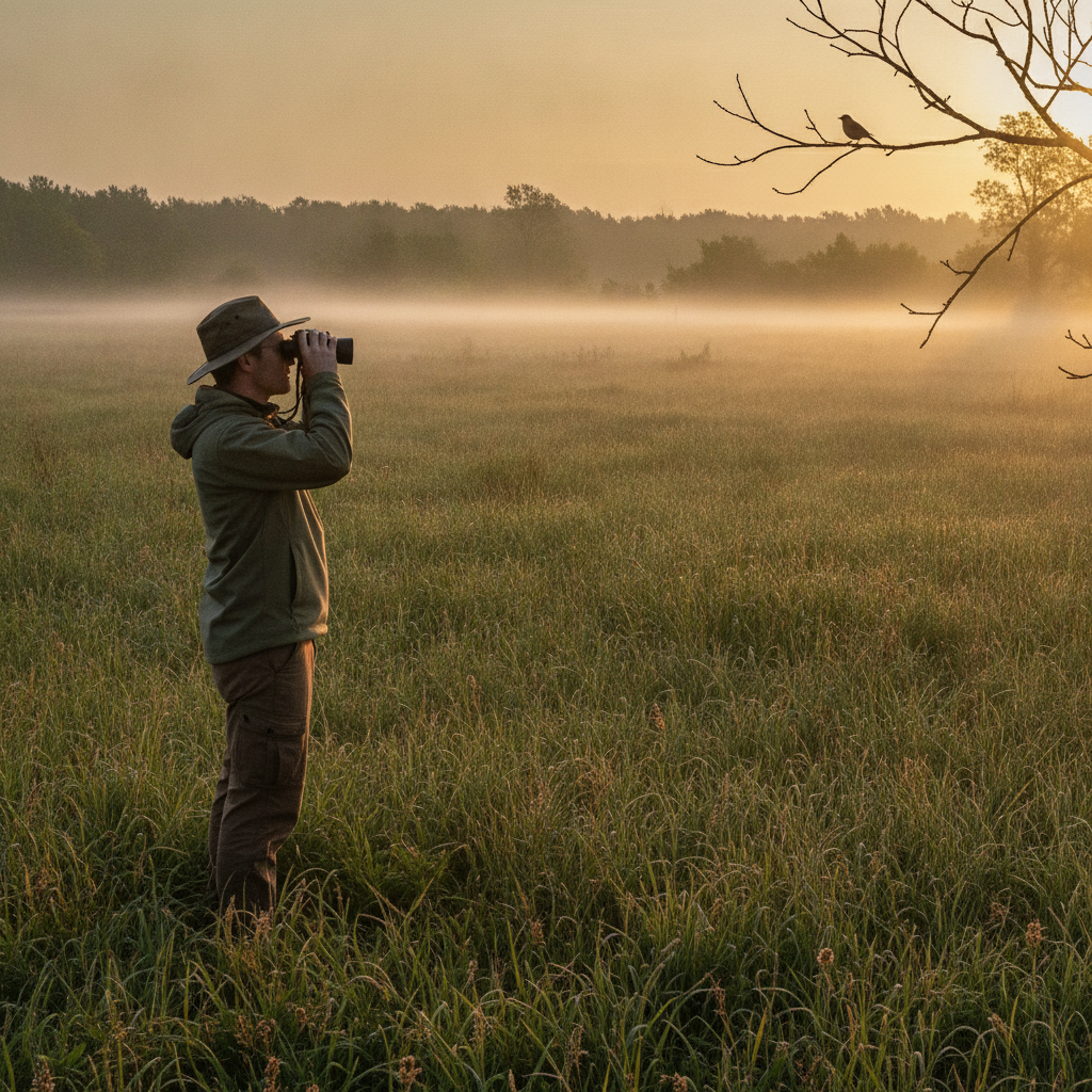
Point counts are the standard currency of avian monitoring — comparable across observers, years, and studies in a way few other wildlife methods manage. But that comparability only holds if the protocol is followed exactly and the data is recorded cleanly. At 5:30 a.m., in the dark, with a warbler chorus in full swing, clean recording is the hard part.
Here's a field-tested rundown of point count fundamentals, plus what changes when you swap the clipboard for a phone.
Protocol Fundamentals
Station placement. Points are typically spaced 250 m apart in forest (150 m in open habitat is common in some protocols) to keep detections independent. Lay them out in GIS beforehand, load them on the field map, and navigate to the actual coordinate — "close enough" placement quietly breaks year-over-year comparisons.
Timing. Most songbird protocols run from local sunrise to 4 hours after, during the breeding season, in acceptable weather (low wind, no steady rain). Many species also have regulator-defined survey windows — check both your protocol and any agency guidance before scheduling crews. Our species survey windows reference covers the regulated species.
Count duration. 5, 6, or 10 minutes, often split into intervals (0–3, 3–5, 5–10) so the data supports removal models. Record which interval each bird was first detected in.
Distance bands. 0–25 m, 25–50 m, 50–100 m, >100 m, or exact estimated distances if your analysis uses distance sampling. Rangefinder-verify your distance estimates at the start of each season — everyone drifts.
Detection type. Song, call, visual, flyover — coded separately, because flyovers usually get excluded from density estimates.
The Recording Problem
A single 10-minute point in good habitat can produce 30+ detections across 15 species, each needing species code, interval, distance band, detection type, and sometimes sex/age. On paper that's a grid of tally marks that one observer can read and the office tech interprets — a system that works right up until it doesn't.
The failure modes are predictable: illegible 4-letter codes, tally marks that could be 3 or 4, missing weather blocks, and transcription backlogs that surface errors weeks after anyone could fix them.
What a Digital Point Count Form Should Do
Going digital for point counts has specific requirements — a generic form app configured casually will slow you down, not speed you up. The form needs to:
- Make each detection a repeatable row with species, interval, distance band, and detection type as fast taps — not free text
- Use AOU/eBird 4-letter codes with autocomplete, so "COYE" is two keystrokes and never misread
- Auto-stamp the metadata — station ID from the loaded point, GPS fix, start time, observer
- Run a visible count timer with interval alerts, so the 3-minute break is exact rather than estimated
- Capture weather once per point (temperature, wind class, sky code) as required fields that can't be skipped
- Work completely offline — dawn chorus happens where cell signal doesn't, and the data must commit to the device instantly
Hands-free helps more here than almost anywhere: speaking "common yellowthroat, singing, twenty-five to fifty" into a voice-transcribing form keeps your eyes and binoculars up during the count.
Data You Can Actually Analyze
The payoff of structured digital recording arrives at analysis time. Every detection is already a row with station, date, interval, band, and species — so occupancy or density models ingest the export directly, and your QA is a filter ("species code not in list", "distance blank") instead of a re-reading of 400 paper sheets. Exports to CSV for R, or shapefile/GeoJSON when the deliverable is a map, come straight from the same records.
Field-Ready Templates
FieldTap includes point count forms with repeatable detection rows, species-code autocomplete, offline operation, and one-tap exports — plus 120+ other wildlife and habitat forms. Start a free 14-day trial and run one morning's route side-by-side with paper. The comparison usually ends the debate.