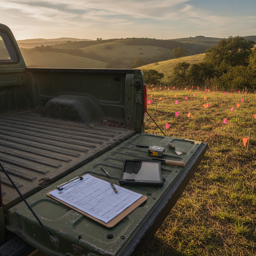
Every compliance field project ends the same way: someone sits at a desk re-typing field data into the state's official form. The data is already digital. The form is a PDF. And yet the last mile of every survey is still manual copy-paste.
FieldMap — now available to every FieldTap Business subscriber — closes that gap. Upload the agency's official form, map your FieldTap fields to it once, and every record in your project exports as filed-ready paperwork.
The Problem: Your Data Is Digital, The State Wants Its Form
State Historic Preservation Offices, BLM field offices, USACE districts, and state DOTs each have their own required forms. They will not accept your app's generic PDF export. They want their form, with their layout, filled in completely.
Until now the options were:
- Re-type everything. 30–60 minutes per site record, multiplied across a season.
- Build a mail-merge pipeline. Fragile Word templates that break every time a field changes.
- Pay for custom development. Some firms have literally commissioned software for a single state's form.
How FieldMap Works
FieldMap treats the agency form as a template that your data flows into:
1. Upload the official form. PDF or .docx — the actual file the agency distributes. FieldMap detects the fillable fields, table cells, and checkbox groups.
2. Map your fields once. Drag each FieldTap form field onto its spot in the agency form. Site number to site number, UTM easting to UTM easting, artifact description to the narrative block. Repeatable sections (shovel tests, photos, artifacts) map to the form's table rows and continuation sheets.
3. Export any record — or all of them. Every record in the project can now export as the agency form, filled and formatted. One record or two hundred, the paperwork is identical to what a careful human would have produced, minus the typos.
The mapping is saved with your form definition, so next season's crew inherits it. Map once, file forever.
What Crews Are Using It For
- SHPO site forms — the flagship use case. All 50 states distribute their own site and isolate forms; FieldMap fills them from the same records your crew captured in the field.
- BLM cultural and biological report attachments
- USACE wetland determination data sheets — the regional supplement forms with their dense checkbox grids.
- State DOT survey deliverables
Honest Limitations
FieldMap is new, and there are edge cases we're still improving. Forms with hand-drawn tables scanned from 1987 sometimes need manual field placement (the detector can't find fields that aren't really there). Extremely long narratives can overflow fixed-size PDF text boxes — FieldMap warns you and shrinks text within limits, but a two-page site description won't fit in a two-inch box no matter what software you use.
If you hit a form that doesn't map cleanly, send it to us. We've been turning problem forms into supported forms within days.
Getting Started
FieldMap is included in the Business plan — no per-form or per-export fees. If you're on Professional, you can start a 14-day Business trial and map your first form today. Bring your state's ugliest PDF. That's what it's for.